
Siddhartha, 27-07-2021
Snuggled between the kingdom of Nepal in the west and the Kingdom of Bhutan in the east lies a small stretch of rugged land just 40 miles by 70 miles – the Indian state of Sikkim. On its northern border towers the plateau of Tibet whereas it shares its southern border with West Bengal which is another prominent state of India. On the map globe it is just a speck with approximate latitude of 27 degrees north and longitude of 88 degrees east but its size belies its richness of culture, customs, heritage flora and fauna.
Sikkim province was earlier a protectorate of India with a monarchy government but in 1975 it metamorphosed as the twenty second state of the Indian Union. The population of the whole state is about 3.5 lacs according to the last census conducted. The state consists of four districts-North District with the district headquarter at Mangan, South districts with the district headquarter at Namchi, West districts with the districts headquarter at Gyalshing and East district with headquarter at Gangtok – which also is the capital of Sikkim.
Physical Feature of Sikkim State
Sikkim is a land of monumental mountains that seem to be heaven on earth. The gaint mountains ranges present here form a part of the long range – the mighty Himalayas. The Kanchendzonga, the third highest mountain in the world, majestically towers all over the mountains in its vicinity like a god surrounded by smaller deities. The Kanchendzonga, tranquil and serene in its presence like a saint in transcendental meditation, can be seen from almost any part of Sikkim, Criss-crossing the topography are gushing streams and brooks that plummet down in to the deep green valley’s as tributaries of rivers. These rivers combine to form the Teesta which thunders down towards the Bay of Bengal. The Teesta receives water from many tributaries the most important of them being the Lachen Chu, Lachung Chu and the Rangit.
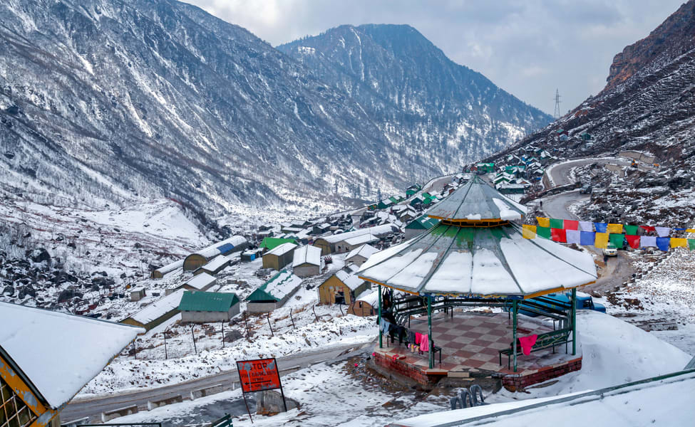
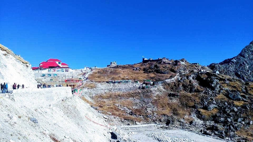
Lakes : The Himalayan wonderland is bestowed with beautiful lakes expect to find lakes on such a rugged terrain. But surprisingly, Sikkim does have lakes though not very large in size. These lakes are both spring fed as well as river fed. On the highway between Gangtok and Nathula, 34 kilometers from Gangtok lies the serene Changu Lake at an altitude of about 12,000 ft. Khechopari lake is another well-known lake that lies on a bifurcation of the route between Gyalshing and Yoksum. Green Lake, Menmecho, Samiti and Lampokhari are some other beautiful lakes.
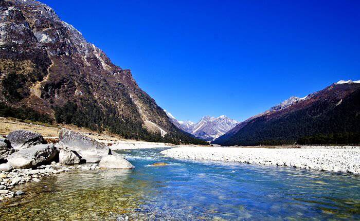
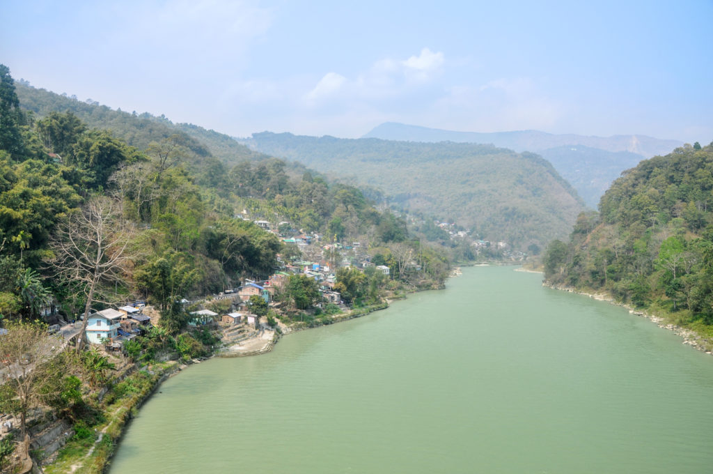
Rivers : One of the rivers that almost flows right across the length of Sikkim is the Teesta. Its main tributary is the Rangeet which originates from the Rathong Glacier and meets it at the border between Sikkim and West Bengal. Teesta itself originates from the Cholamu Lake and the confluence of two small rivers-Lachen Chu and Lachung Chu at a place called Chungthang in North Sikkim Tour.
During the monsoons season the otherwise innocuous looking rivers of Sikkim become swollen, swift, muddy and dangerous. The rivers are tapered, serpentine and full of rocks and hence are not navigable. However the Teesta river as it approaches the border between Sikkim and West Bengal becomes quite wide and clear of rocks and it is possible to raft across it. The Teesta river ultimately joins the Bramaputra in Bangladesh.
River Teesta
The rivers in Sikkim are fed by snow melting on the mountains as well as rain that accumulates in the catchment areas during the monsoons. Human settlements usually exist much above the level of the rivers and hence even if flooding takes place life and property remain safe.